


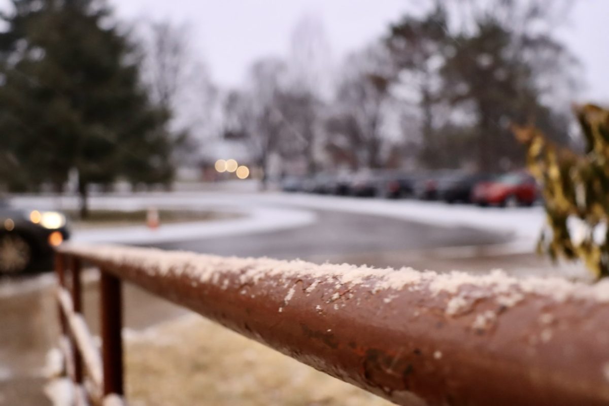
There was a surprise snow dusting Wednesday morning, starting at around 7:10 AM. Forecasts were predicting freezing rain, and therefore many precautions the city would have typically taken for snowy roads were not followed. Even on main roads, abundant caution in the face of extremely slick road conditions slowed traffic to a crawl, and as of 8:00 Wednesday morning there were 11 accidents just on major highways, with 4 different crashes on the Watterson alone. JCPS was the only local district opting not to cancel school Wednesday.
Riley Bowers (10) was late to school Wednesday and discussed what she saw.
“I was late to school on Wednesday because of the roads. We saw two semi truck crashes on the way there. I also heard that a school bus crashed somewhere. It took forever to get through the traffic. And I know I wasn’t the only one who ended up late because they held attendance and a ton of people had to get notes,” Bowers said. “We should have at very least gotten a delay. Though I can understand the admins viewpoint because we’re going to be out a lot next week with the snowstorm.”
Wednesday was only a taste of what is to come, however. According to WDRB, this weekend holds “the potential for a foot or more of snow.” The National Weather Service has issued a winter storm warning for Louisville, which went into effect this morning and will stay in place through Monday morning, noting the possibility of “power outages, downed trees, and impassible roadways” and recommending reduced travel. This warning covers every local county in the Louisville Metro and Southern Indiana.
Evan Taylor (12) shares her growing fears of the storm’s escalating threat after a close call of her own.
“I’ve heard the storm is only going to get worse which is kind of scary because I drove in it early when it was just starting and just about spun out in an intersection,” Taylor said.
Current models almost guarantee over six inches of snow, with some areas seeing 8-12 inches, and currently the possibility of 12-18 inches is even being floated. Additionally, “arctic” temperatures are settling in from today onward, and will stay in place for the following week. According to current estimates by WLKY, these temperatures could range from highs of 20° to lows in the single digits and even below zero next week. These conditions will likely keep any snow and ice in place even after the frozen precipitation stops.